|
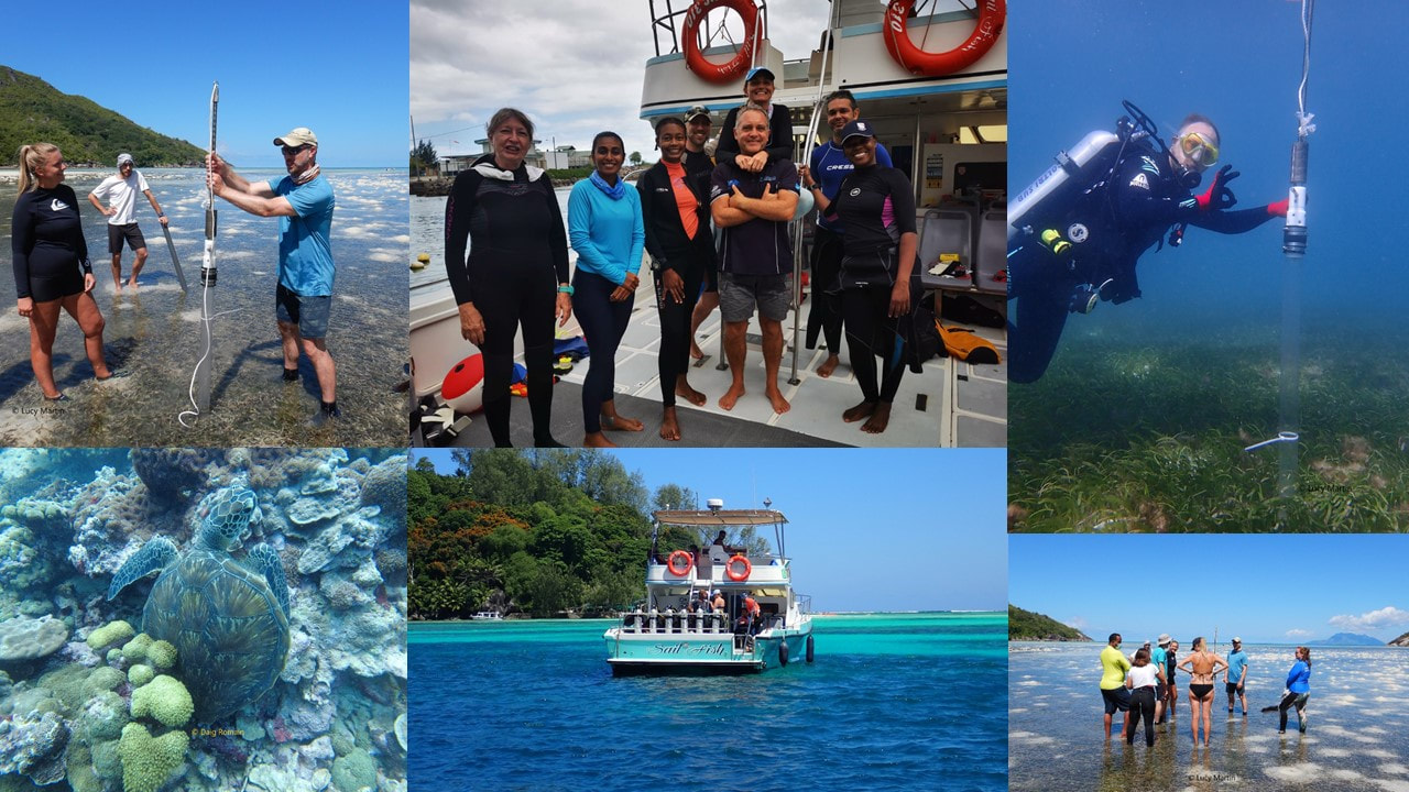
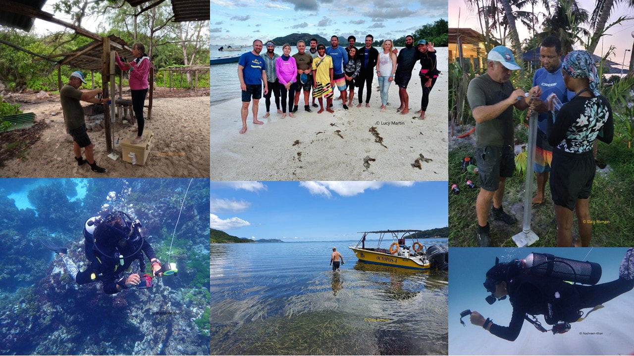
During November to December 2021 two researchers from the University of Oxford, in collaboration with SeyCCAT, the German Aerospace Agency, ICS, UniSey and other local entities/persons conducted extensive ground work around Mahe, Praslin, Desroches and D’Arros, these were under the ‘Seagrass Mapping and Carbon Assessment' project funded by the Pew Charitable Trusts. At this stage the main objective of the project has been to map the distribution of seagrass beds and to collect coring samples which will be used to calculate the amount of carbon stored in our seagrass meadows. The information gathered will help build the scientific baseline necessary for the Seychelles government to include the protection of seagrasses as a nature-based solution for our Nationally Determined Contributions (NDC). Nationally Determined Contributions - What are they?In December 2015, 196 parties adopted the Paris Agreement. This agreement includes commitments from all countries to reduce their emissions and to work together to adapt to the impacts of climate change. Its goal is to limit global warming to 1.5 to 2 degrees Celsius over pre-industrial levels. In November 2016 when the agreement came to force, it was a landmark achievement in the multilateral climate change process, being the first binding agreement bringing all nations into a common cause to combat climate change and adapt to its effects. Under the treaty, every 5 years, countries are required to submit their plans for domestic mitigation measures, also known as Nationally Determined Contribution (NDCs), which will be taken to reduce their greenhouse gas emissions and to build resilience to adapt to the impacts of rising temperatures, for climate change actions. Seychelles submitted its updated NDC in July 2021. For more information about the Paris Agreement follow the following link and see video below; What are Seychelles commitments to the NDC?"Blue carbon sinks" are habitats associated with the marine environment that they are known to store carbon. In other words, they are reservoirs that absorb more carbon than they release. Previously, the NDCs and Seychelles did not not include listings of blue carbon habitats in the national greenhouse emissions inventory. Quantifying our blue carbon sinks will help Seychelles to reach its commitments and targets. The 2021 NDC includes the following commitments and targets, focused on safeguarding the Blue Economy and Blue Carbon ecosystems, which are especially relevant to the ‘Seagrass Mapping and Carbon Assessment project’:
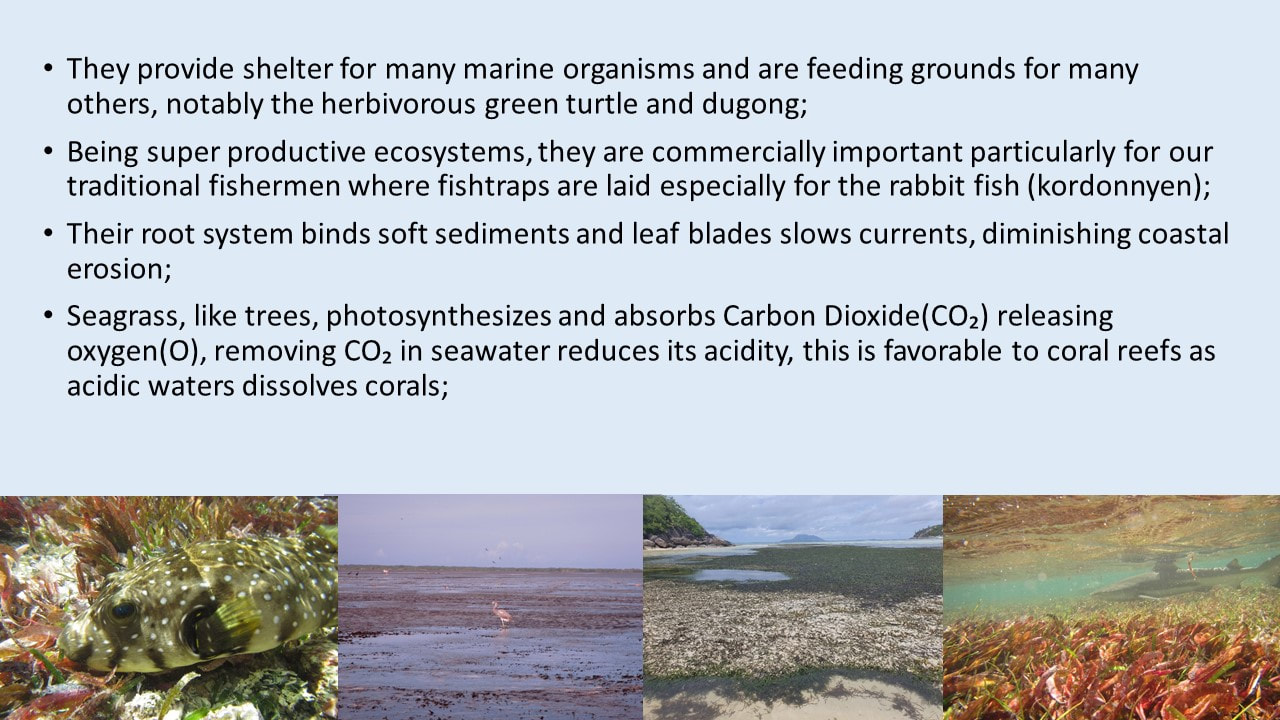
Seagrasses in SeychellesSeagrass meadows are perhaps the most under-appreciated marine habitats. In Seychelles, all marine plants including both 'Seagrasses' and 'Algae' share the name ‘Gomon’, although these are distinctly different types of marine plants (stay tune to the work being conducted by SeyCCAT’s Coastal Wetlands & Climate Change project to bring forward Creole names of our different seagrass species!). At least 10 species of seagrass have been identified in Seychelles. the following pictures compiled by SeyCCAT highlight some of the differences between the various species.. Importance of seagrass
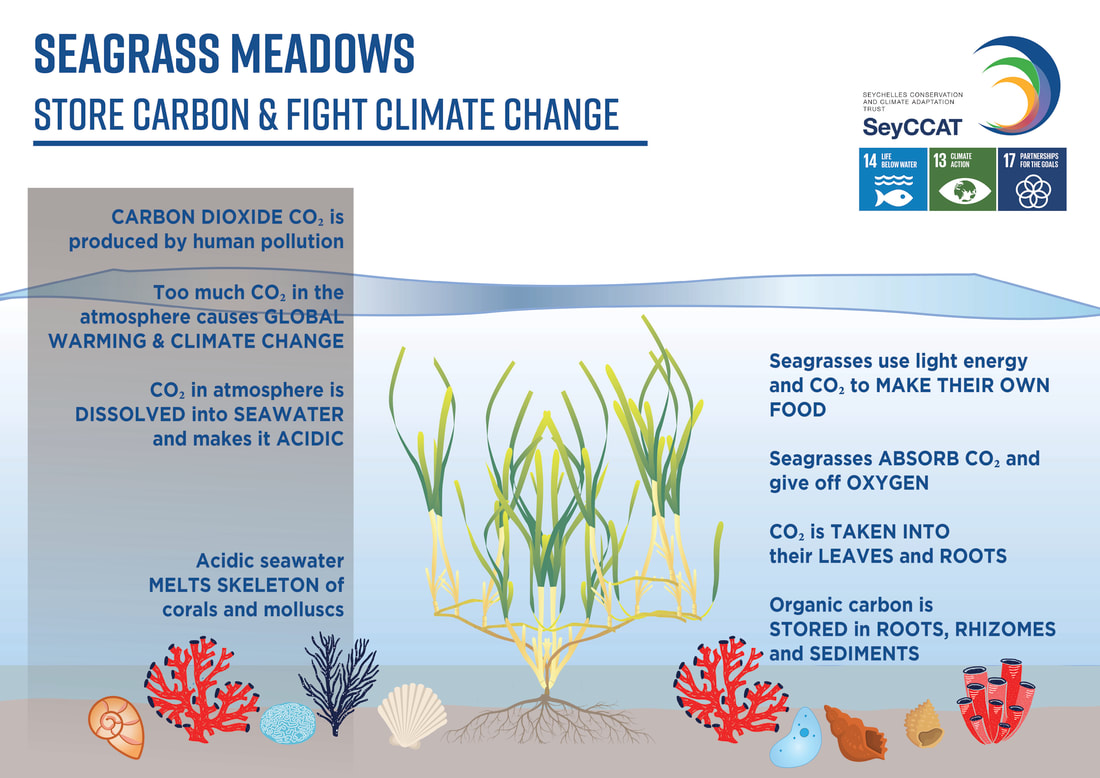
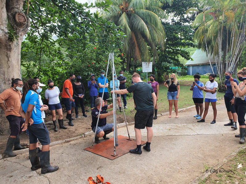
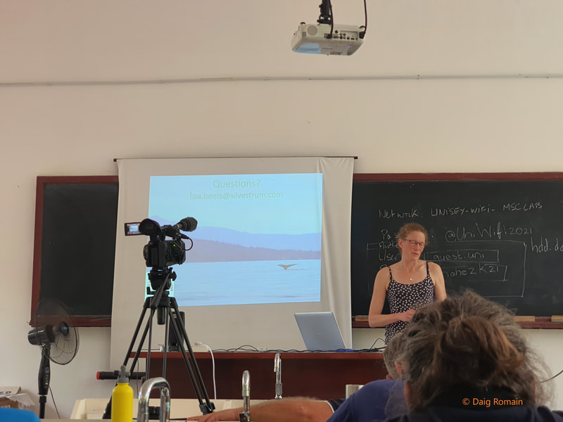
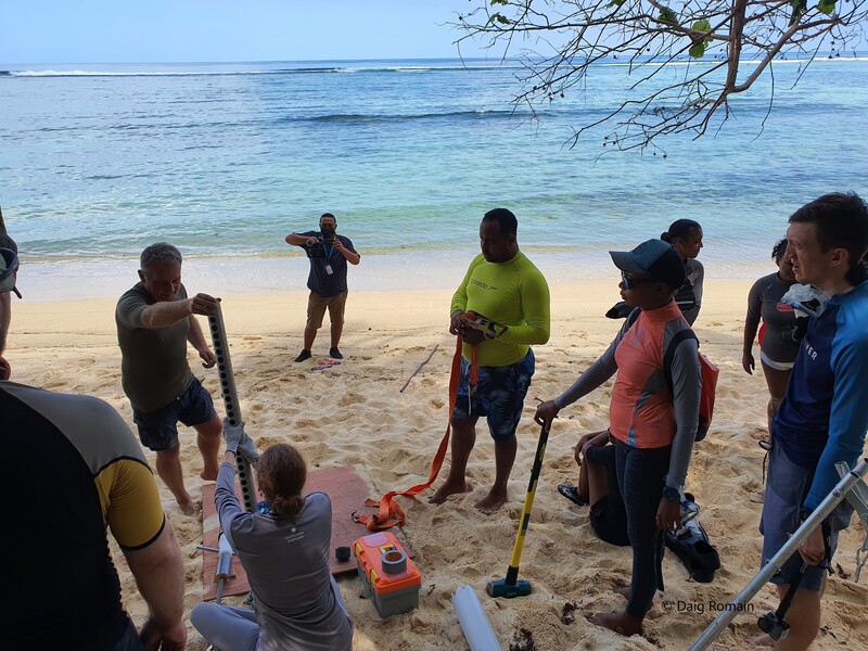
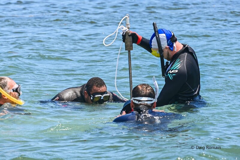
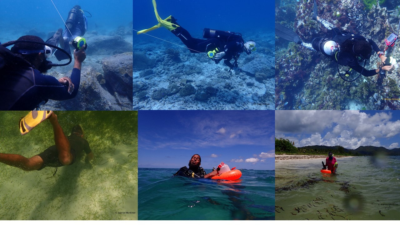
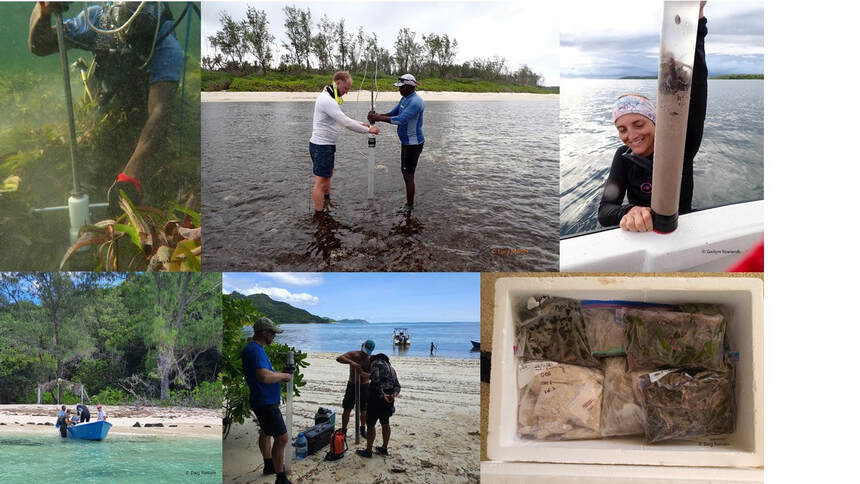
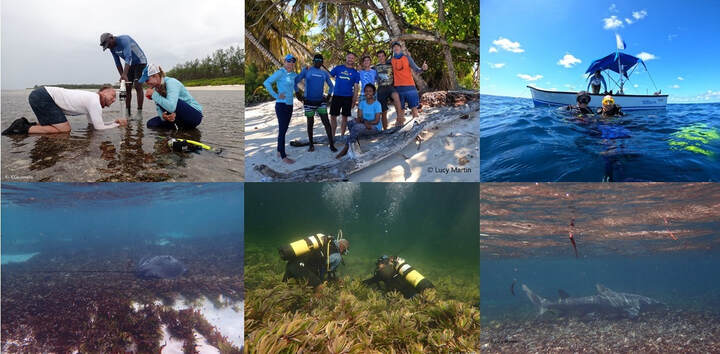
Carbon stored in coastal and marine ecosystems is called Blue Carbon. Mangroves, tidal marshes and seagrass meadows sequester and store more carbon per unit area than terrestrial forests. For more resources on Blue Carbon click the link below for the downloadable document ‘COASTAL BLUE CARBON- Methods for assessing carbon stocks and emissions factors in mangroves, tidal salt marshes, and seagrass meadows’. Activities conducted so farSeagrass mapping and fieldwork training workshopDuring 26-29 October 2021, SeyCCATs’ Coastal Wetlands and Climate Change Project, in partnership with Oxford University, UniSey and BERI ran a 4 days’ workshop at the University of Seychelles. The participants were taught about blue carbon and its corresponding ecosystems, how to identify the seagrass species, and about the different methods that will be used to collect and analyse field data that will be used by the Oxford researchers. The workshop also included practical sessions whereby the participants mapped the seagrass distribution and collected core samples at Anse Royale- Bougainville region. FieldworkImmediately after the workshop the Oxford University team with local partners led a number of expeditions to collect data and soil cores around Mahe, Praslin, Desroches and D’Arros. The main aims of the expeditions were two-fold; - Conducting ground truthing exercises in order to accurately map the locations of seagrass meadow. This was done mostly by snorkeling or SCUBA diving teams, which conducted underwater photographic transects of the benthic zones while closely towing a GPS device at the surface. The data collected will be analysed relative to satellite images and used to accurately map the distribution of the seagrass meadows(and other undersea features). Another device used was the 'Drop Cam' or Tethered video recorder that was deployed in deeper waters, it involved pulling an underwater video camera from the boat to record characteristics of the substrates. - Collect soil cores at mapped sites. These sediment samples are sent to the laboratory where their density and organic carbon content are measured. *By quantifying the area of Seagrass distribution and the soil carbon content a first-time estimate of carbon stock for seagrass meadows in Seychelles will be generated. Here are some of the highlights from the field work conducted by the teams on Mahe, Praslin and DesrochesMahe (30th October- 7th November) Field work around Mahe (including the Ste Anne Marine Park) took about 9 days and had the participation of numerous organisations such as ICS, BERI and SPGA Praslin (9th November- 15th November)Field work around Praslin (including sites at La Digue) took 7 days Desroches (19th November- 26th November)Field work on Desroches consisted of a smaller team made up of ICS staff and the Oxford researchers only Why is Island Conservation Society involved? ICS is working closely with the Islands Development Company, and with particular reference to all the outer islands of Seychelles. The objectives of ICS are to conserve, restore and enhance island ecosystems and their associated marine environment in order to protect their natural and cultural assets. As many of the outer islands, support large seagrass communities, ICS is well positioned to provide the logistical and technical support needed to actualize the necessarily activities at these remote sites. ICS has completed the groundwork on Desroches Island and trained its staff to be able to undertake similar work for Cosmoledo, Farquhar , Alphonse and St. François. Stay Tune for more information on how the work progresses in February 2022. What’s next? The data collected will enable Seychelles to quantify its ‘blue carbon’ storage capacity and will provide the Government of Seychelles, with the information they need to update and include the protection of seagrass in their NDCs as a nature-based solution to climate change. AcknowledgementICS would like to take this opportunity to acknowledge and thank the whole team of partner organisations who have been active on the Seychelles Seagrass Mapping and Carbon Project, notably: the Pew Charitable Trusts, the Oxford University, the SeyCCAT Coastal Wetlands and Climate Change Project team, the Blue Economy Research Institute team from the University of Seychelles, IDC, the ICS island teams, SPGA, the Atoll divers and Octopus dive centers. Not forgetting the many individuals who participated in the research at one point. We look forward to seeing the fruit of the work we have done so far and look forward to your continued support to the continuation of this project. Below is a short video on the Seagrass outreach campaign led by SeyCCAT as part of the Coastal Wetlands and Climate Change Project supporting the Seagrass Mapping exercise and Carbon Assessment Project.
0 Comments
Your comment will be posted after it is approved.
Leave a Reply. |
Categories
All
Archives
June 2024
|

